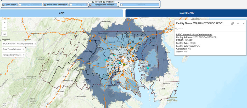
The Postal Service is using geospatial data to increase operational efficiency.
Geospatial data is information related to a specific physical location that reveals patterns and trends and helps make predictions more accurate. This data — in the form of maps, graphs and statistics — provides a more complete picture of operations for an organization.
For example, a retail chain may use geospatial data to determine where to open a new store, while a marketing company could use the information to help a client target new customers.
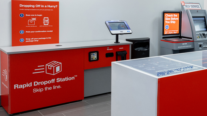
USPS analyzes geospatial data to deliver mail and packages to every address more efficiently. The information also helps the organization serve communities during crises and disasters.
The Postal Service’s geospatial analytics team is experienced in mapping, data science and enterprise geographic information systems. Team members build and maintain mapping layers that are used for USPS facilities, retail, delivery, logistics, processing operations and public relations.
The team also monitors the weather to anticipate and mitigate potential effects on delivery operations.
“There is invaluable geospatial data available for Postal Service managers and employees that will help them,” said Steve Dearing, chief data and analytics officer. “With access to our data resources, they can gather the information they need quickly and easily.”
For more information, email the geospatial analytics team.